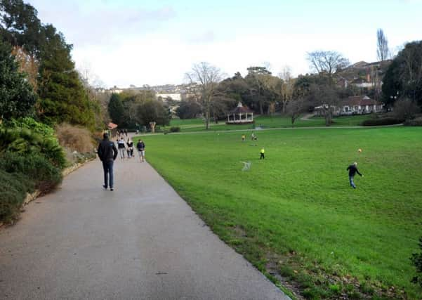
Revised Alexandra Park cycle route set for approval


Hastings Borough Council is leading on the delivery of the project with East Sussex County Council providing necessary support.
A decision on the route was deferred by the county council’s lead member for transport and environment back in March 2017 due to concerns about the potential for conflict between cyclists and pedestrians at popular areas of the park, in particular near the cafe and bandstand.
Advertisement
Hide AdAdvertisement
Hide AdA report was produced looking at the feasibility of a cycle route along St Helen’s Road from the Queens Road roundabout to an access point into the park near the toilets.
However this option is not set to progressed due to a number of issues, with a revised route through the lower sections of the park proposed instead.
The amended scheme is set to approved by the county council’s lead member for transport and environment at a meeting on Monday (June 18).
If agreed it would be taken forward to the detailed design and construction phase and included in ESCC’s capital programme for 2018/19.
Advertisement
Hide AdAdvertisement
Hide AdConstruction could start as early as spring 2019 but according to officers works would need to be programmed carefully to cause minimal disruption to the users of the park.
It is anticipated work in the lower sections would need to be done first during early spring when the use of this part of the park is relatively low.
If approved next week the scheme would need extensive detailed design with close liaison with conservation and planning officers at Hastings Borough Council to choose construction materials.
The design would also require a stage two safety audit.
Meanwhile given the park’s registered status, sign-off for the detailed designs would be required from Heritage England, who would seek a landscape management plan before construction starts.
Advertisement
Hide AdAdvertisement
Hide AdAccording to an officers’ report the minimum highway corridor width to accommodate a shared cycle/footway is 12.6 metres and if any on-street parking is retained this would need to be an extra 0.5 metres.
Sections of St Helen’s Road fall below these minimum corridor widths, while any scheme would require the removal of around 36 on-street parking spaces which are heavily used.
Along the lower section of the road at least 20 trees would need to be removed to enable sufficient width for a shared facility to be created.
There are also two bus stops which would increase the potential conflict between passengers, cyclists and pedestrians.
Advertisement
Hide AdAdvertisement
Hide AdAccording to the route review report: “In terms of an option to use St Helen’s Road as an alternative route to the lower park, the restricted highway corridor width along sections of St Helen’s Road together with the requirement to retain on-street parking and the existing mature trees within the footway mean this option cannot provide the sufficient width needed to accommodate a shared use facility.
“It is therefore recommended that a route through the lower park should be progressed provided adequate improvement measures, as identified within this report, can be introduced to accommodate a shared use path.”
The officers’ report details how a shared-use path through the park could have positive and negative impacts on children, the elderly and people with disabilities.
To mitigate these potential negative impacts a package of route improvement measures would be introduced, together with extra ‘share with care’ information signs and a code of conduct to promote responsible use.
What do you think? Email [email protected].